Snow right now

  • Powder chaseWhere it is snowing right now, ranked by fresh snow.
  • Trending resortsDaily powder alerts, bluebird days and storm watches.
  • Epic Pass resortsEvery Epic mountain with its live conditions.
  • Ikon Pass resortsEvery Ikon mountain with its live conditions.
  • Resort globeSpin the globe and browse resorts by country.

Plan your ski trip

  • Resort discoverySearch and filter resorts by country, pass and snow.
  • Resort comparisonsCompare ski areas, passes and conditions side by side.
  • Snow reliabilityCompare natural snow seasons using historical weather data.
  • Resort opening datesCheck planned season openings and their sources.
  • December ski guideChoose an Alpine resort for early December or Christmas.

Ski tools

  • Rent or buy ski gearCompare equipment costs for the number of days you ski.
  • Ski form analysisReview a front-view ski clip with analysis on your device.
  • Snow report widgetsAdd resort conditions to your own website.

Read

  • Science of the sendSki physics, injury biomechanics and a carve simulator.
  • BlogGuides, tips and product notes from SkiMate.

© 2026 SkiMate. Check official resort reports before you go.

Chat with SkiMatePrivacy policy

SkiMate

SkiMate

Trending

Myoko Kogen tops with 21cm as Pacific Northwest picks up fresh snow

Powder Alert

Wednesday, October 28, 2026

Myoko Kogen tops with 21cm as Pacific Northwest picks up fresh snow

Myoko Kogen logged 21cm of fresh snow. Mount Hood and Mt Baker added 16cm and 15cm respectively, refreshing early-season cover in Japan and the US Pacific Northwest.

Myoko Kogen led the night with 21cm of fresh snow in Niigata. That is a noteworthy early-season deposit for this volcanic zone, enough to refresh groomers and create soft pockets in the trees and on higher lines. Resorts in the Myoko group will see the deepest accumulations at higher lifts and on lee slopes, where the new snow has a chance to sit untracked.

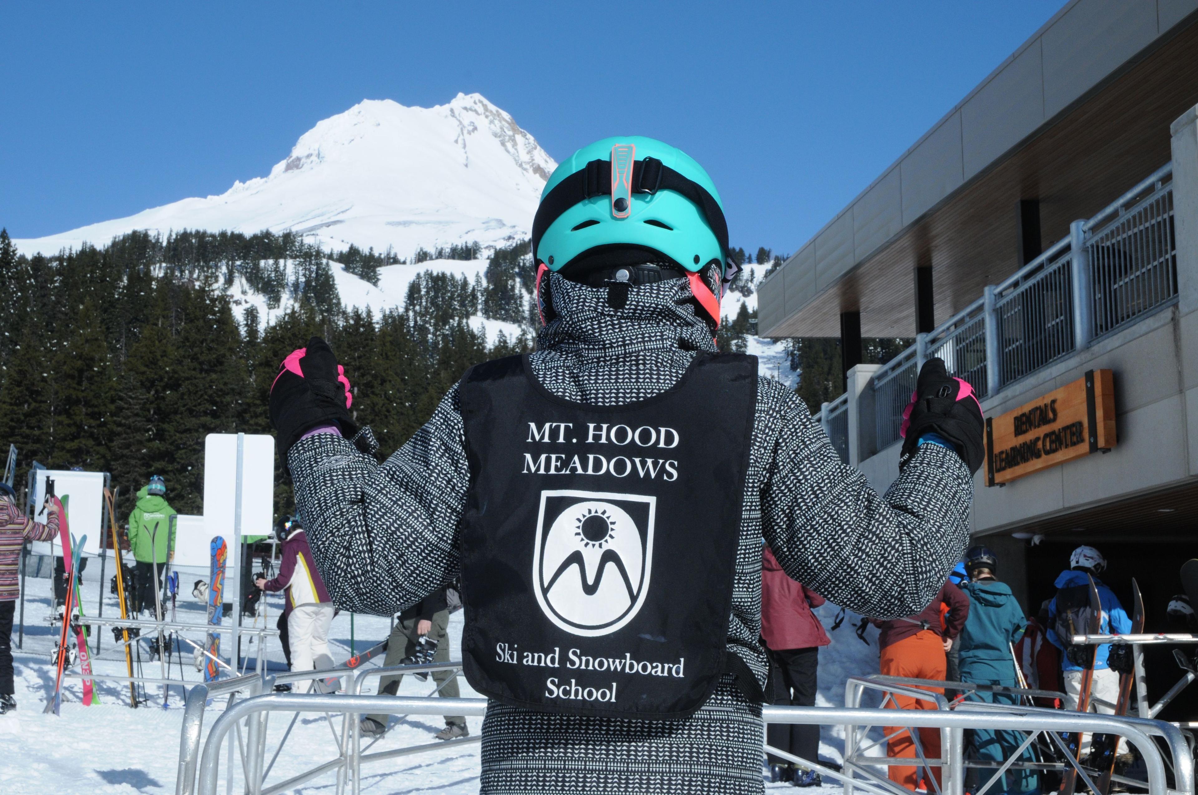
The Pacific Northwest also picked up meaningful fresh snow. Mount Hood recorded 16cm, and Mt Baker took 15cm, both boosting the upper mountain cover and topping up early bases. Those totals are modest compared with big winter dumps, but substantial for this time of year, and they will make a clear difference on groomed runs, in glades and on rocky ridgelines where even a small fresh layer matters. Across the three qualifying resorts, the pattern is split between a single stronger hit in Japan and a consistent, slightly smaller pulse in the US Cascades.

Given the totals, conditions should be best early in the day when the new snow remains loose and untracked. With early-season base depths still limited, expect tracked lines to firm sooner than mid-winter storms produce, and for the freshest turns to cling to tree pockets and sheltered aspects. Unless further systems arrive, these deposits will be the main source of soft snow over the next 24 to 48 hours, so plan for the best snow first thing and firmer surfaces later on.

The resorts

Mount Hood
16cm

Mount Hood

OR, US

15cm

Mt Baker

WA, US

21cm

Myoko Kogen

Niigata, JP

← Oct 27Oct 30 →
See today's powder alert resorts

Other categories for Wednesday, October 28, 2026

Bluebird DayStorm WatchSpring Skiing