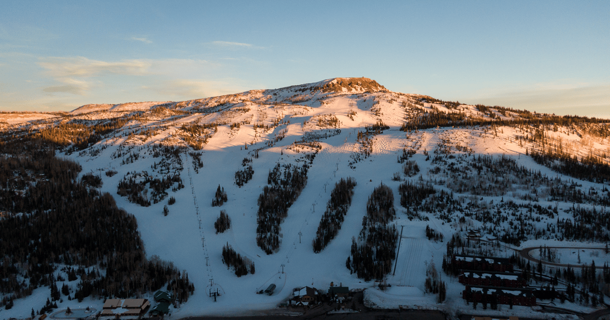
Mt. Shasta Ski Park leads the incoming snow outlook with 35cm; Utah’s Snowbasin and Brian Head are listed for 30cm and 27cm.
Mt. Shasta Ski Park leads Wednesday’s Storm Watch with 35cm of incoming snow in northern California. That is the largest figure among the three qualifying resorts, five centimetres ahead of Snowbasin and eight ahead of Brian Head. The report labels the snow as incoming, so 35cm is a prospective amount, not a recorded overnight total. Mt. Shasta sits at the front of this small but clear western US snow picture.
Utah accounts for the other two reports. Snowbasin is listed for 30cm, while Brian Head has 27cm incoming, a gap of just 3cm between them. Together, those figures put both Utah resorts close to the California leader, with all three totals ranging from 27cm to 35cm. The distribution is notable for its consistency: each qualifying resort has a substantial amount in the incoming column, rather than one large total standing apart from a series of minor reports. The data gives no snowfall timing or resort-by-resort breakdown, so it cannot show when the snow will arrive or how evenly it will fall across each mountain.
For the next day or two, the useful signal is the shared incoming-snow status across California and Utah, not a confirmed accumulation already on the ground. The listed amounts point to meaningful new snow if they arrive as reported, but they do not establish when conditions will change, what the snow quality will be, or which lifts and terrain will operate. Check resort updates before travelling, particularly for actual snowfall totals and opening information. On the figures available today, Mt. Shasta has the largest incoming amount, with Snowbasin and Brian Head close behind.